|
The village of Le Brugeron is a small village located center of France. The town of Le Brugeron is located in the department of Puy-de-Dôme of the french region Auvergne. The town of Le Brugeron is located in the township of Olliergues part of the district of Ambert. The area code for Le Brugeron is 63057 (also known as code INSEE), and the Le Brugeron zip code is 63880.
Geography and map of Le Brugeron :
The altitude of the city hall of Le Brugeron is approximately 826 meters. The Le Brugeron surface is 27.42 km ². The latitude and longitude of Le Brugeron are 45.713 degrees North and 3.72 degrees East.
Nearby cities and towns of Le Brugeron are :
La Renaudie (63930) at 2.57 km, La Chambonie (42440) at 4.56 km, Olmet (63880) at 4.59 km, Saint-Pierre-la-Bourlhonne (63480) at 4.65 km, La Chamba (42440) at 5.67 km, Marat (63480) at 6.39 km, Vertolaye (63480) at 7.01 km, Saint-Gervais-sous-Meymont (63880) at 7.45 km.
(The distances to these nearby towns of Le Brugeron are calculated as the crow flies)
Population and housing of Le Brugeron :
The population of Le Brugeron was 275 in 1999, 274 in 2006 and 267 in 2007. The population density of Le Brugeron is 9.74 inhabitants per km². The number of housing of Le Brugeron was 371 in 2007. These homes of Le Brugeron consist of 125 main residences, 209 second or occasional homes and 37 vacant homes. |
|
|
Hotel Le Brugeron
|
|
|
Book now ! Best Price Guaranteed, no booking fees, pay at the hotel with our partner Booking.com, leader in online hotel reservation.
Find all hotels of Le Brugeron : Hotel Le Brugeron
| |
|
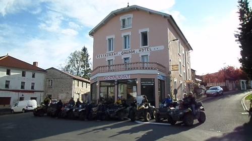
Hotel : Hotel La Vie En Rose
Offering a restaurant, Hotel La Vie En Rose is located in Le Brugeron. Free WiFi access is available. Each room here will provide you with a TV and a wardrobe. The private bath...
Rate : from 52.00 €
to 85.00 €
Address : Le Grün Batailler 63880 Le Brugeron
Distance Hotel - Le Brugeron : 0.40 km
|
|
|
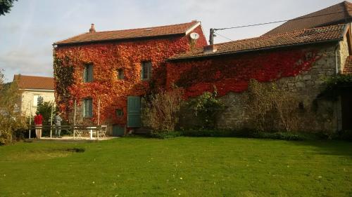
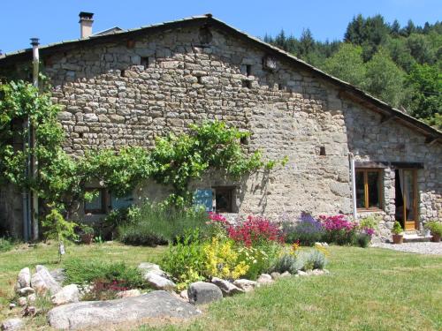
Guest accommodation : Maison Vacances Grun Batailler
Maison Vacances Grun Batailler is located in Le Brugeron and offers barbecue facilities, a garden and a terrace. It provides free WiFi and a shared lounge. The holiday home is ...
Price : from 60.00 €
Contact : Le Grun Batailler 63880 Le Brugeron
Distance Guest accommodation - Le Brugeron : 0.40 km
|
|
|
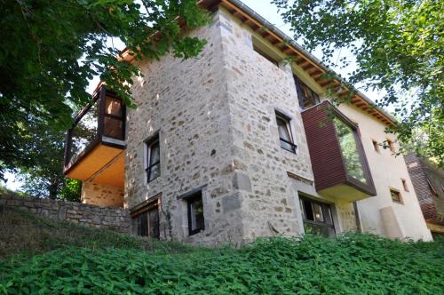
Bed and Breakfast : Le Pre Vert - Garden Annexe
Featuring free bikes, Le Pre Vert - Garden Annexe provides accommodation in Marat with free WiFi and mountain views. This bed and breakfast offers barbecue facilities. The bed ...
Contact : La Griffole n.n. 63480 Marat
Distance Bed and Breakfast - Le Brugeron : 3.35 km
|
|
|
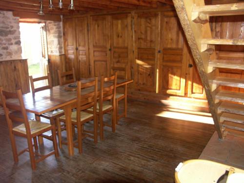
Guest accommodation : Ana'chronique
Ana'chronique is set in Marat. The accommodation features free WiFi. All rooms in the guest house are equipped with a coffee machine. A continental breakfast is served daily a...
Contact : Darnapesse 63480 Marat
Distance Guest accommodation - Le Brugeron : 5.71 km
|
|
|
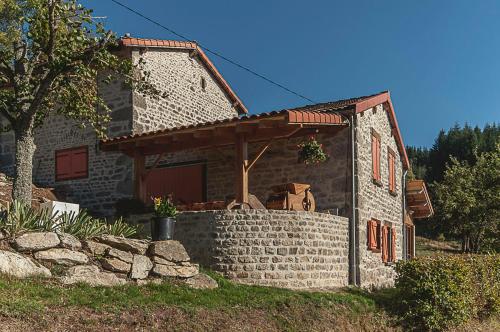
Guest accommodation : Gite du Gadoux
  
Gite du Gadoux is located in Augerolles and offers barbecue facilities, a garden and a terrace. The 3-star holiday home has garden views and is 28 km from Thiers. The holiday h...
Address : le Gadoux 63120 Augerolles
Distance Guest accommodation - Le Brugeron : 5.81 km
|
|
|
Guest accommodation : Gîte " Orée des bois"

Boasting barbecue facilities and a garden, Gîte " Orée des bois" features accommodation in Vertolaye with free WiFi and mountain views. The holiday home is in an area where gues...
Contact : Betonasse 63480 Vertolaye
Distance Guest accommodation - Le Brugeron : 6.77 km
|
|
|
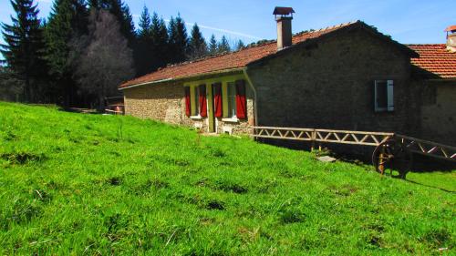
Bed and Breakfast : B&B Les Paddocks
Featuring free WiFi, B&B Les Paddocks offers accommodation 3.2 km from Vollore-Montagne and 48 km from Clermont-Ferrand. Free private parking is available on site. Each room is...
Rate : from 59.00 €
Contact : LAVORT 63120 Vollore-Montagne
Distance Bed and Breakfast - Le Brugeron : 7.54 km
|
|
|
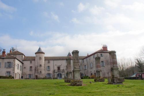
Guest accommodation : Château de Chantelauze

Located in Olliergues, Château de Chantelauze offers an ornemental natural pool, a sauna, hot tub and a fitness room. The property is set within the Livradois-Forez Regional Par...
Contact : 38 route du Brugeron 63880 Olliergues
Distance Guest accommodation - Le Brugeron : 7.59 km
|
|
|
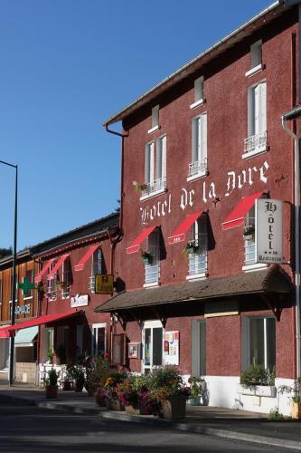
Hotel : Hôtel Restaurant de la Dore
  
Situated in Vertolaye, just a 35-minute drive south of Thiers, Hôtel Restaurant de la Dore offers modern accommodation and a restaurant serving local specialities. Guestrooms a...
Prices : from 50.40 €
to 96.00 €
Address : Dore 63480 Vertolaye
Distance Hotel - Le Brugeron : 7.62 km
|
|
|
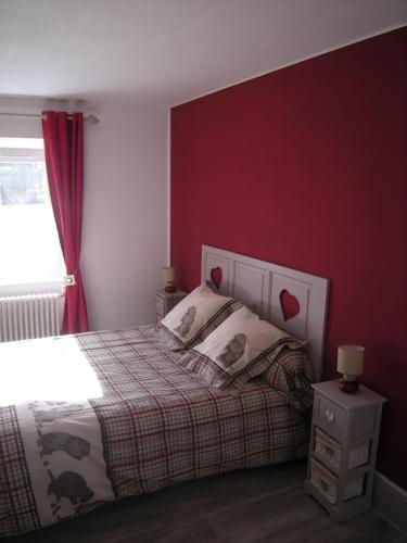
Hotel : Hotel gites des touristes
Hotel gites des touristes in Vollore-Montagne features a casino and barbecue facilities. Featuring a shared lounge, this property also welcomes guests with a restaurant and a te...
Rate : from 55.00 €
Contact : le bourg 63120 Vollore-Montagne
Distance Hotel - Le Brugeron : 8.94 km
|
|
Find another hotel near Le Brugeron : Le Brugeron hotels list
|
Map of Le Brugeron
|
|
Map of Le Brugeron :
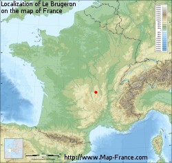
At right you can find the localization of Le Brugeron on the map of France. Below, this is the satellite map of Le Brugeron. A road map, and maps templates of Le Brugeron are available here : "road map of Le Brugeron". This map show Le Brugeron seen by the satellite of Google Map. To see the streets of Le Brugeron or move on another zone, use the buttons "zoom" and "map" on top of this dynamic map.
Search on the map of Le Brugeron :
To search hotels, housings, tourist information office, administrations or other services, use the Google search integrated to the map on the following page : "map Le Brugeron".
Hotels of Le Brugeron are listed on the map with the following icons: 
The map of Le Brugeron is centred in the following coordinates :
|
|
|
|
|
Print the map of Le Brugeron

Print the map of Le Brugeron : map of Le Brugeron
|
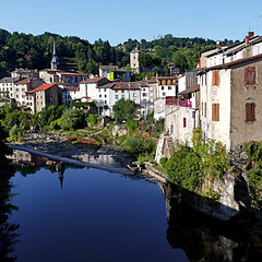
Photos Le Brugeron
|
See all photos of Le Brugeron :
Other photos of Le Brugeron and nearby towns can be found here: photos Le Brugeron
|
|
Le Brugeron weather forecast
Find next hours and 7 days weather forecast for Le Brugeron here : weather Le Brugeron (with english metrics)
This is the last weather forecast for Le Brugeron collected by the nearest observation station of Olliergues.
Week Forecast:
The latest weather data for Le Brugeron were collected Monday, 14 April 2025 at 19:07 from the nearest observation station of Olliergues.
| Monday, April 14th |
19°C 9°C
79%
75%
|
Rain
Temperature Max: 19°C Temperature Min: 9°C
Precipitation Probability: 79% (Rain)
Percentage of sky occluded by clouds: 75%
Wind speed: 7 km/h North
Humidity: 72%° UV Index: 4
Sunrise: 07:01 Sunset: 20:31 |
|
| | Tuesday, April 15th |
15°C 8°C
90%
90%
|
Rain
Temperature Max: 15°C Temperature Min: 8°C
Precipitation Probability: 90% (Rain)
Percentage of sky occluded by clouds: 90%
Wind speed: 8 km/h North-East
Humidity: 74%° UV Index: 3
Sunrise: 06:59 Sunset: 20:32 |
|
| | Wednesday, April 16th |
10°C 6°C
89%
98%
|
Rain
Temperature Max: 10°C Temperature Min: 6°C
Precipitation Probability: 89% (Rain)
Percentage of sky occluded by clouds: 98%
Wind speed: 6 km/h South
Humidity: 75%° UV Index: 3
Sunrise: 06:57 Sunset: 20:33 |
|
| | Thursday, April 17th |
12°C 5°C
58%
81%
|
Drizzle
Temperature Max: 12°C Temperature Min: 5°C
Precipitation Probability: 58% (Rain)
Percentage of sky occluded by clouds: 81%
Wind speed: 13 km/h South
Humidity: 71%° UV Index: 4
Sunrise: 06:56 Sunset: 20:35 |
|
|
Attribution: 
|
|
Other maps, hotels and towns in france
Find another town, zip code, department, region, ...
Quick links Le Brugeron :
Make a link to this page of Le Brugeron with the following code :
|
|
|

 French Version : http://www.cartesfrance.fr/carte-france-ville/63057_Le Brugeron.html


